May 26, 2021
This was looking to be a big day in western Kansas, as many severe weather parameters overlapped nicely ahead of a dry line. We targeted Scott City, KS, as did apparently many other chasers, as the gas station we chose to sit and wait at was packed.
The initial challenge was staying patient, as it seemed like areas relatively close by kept seeing storms. Storms had fired during the late morning over Goodland, KS and moved north of Colby, producing very photogenic structure. Another storm fired along the warm front near Hays and produced a tornado during the early afternoon. A few hours later, more storms fired along the warm front along the Nebraska-Kansas border and produced several tornadoes, all the while western Kansas was void of convection.
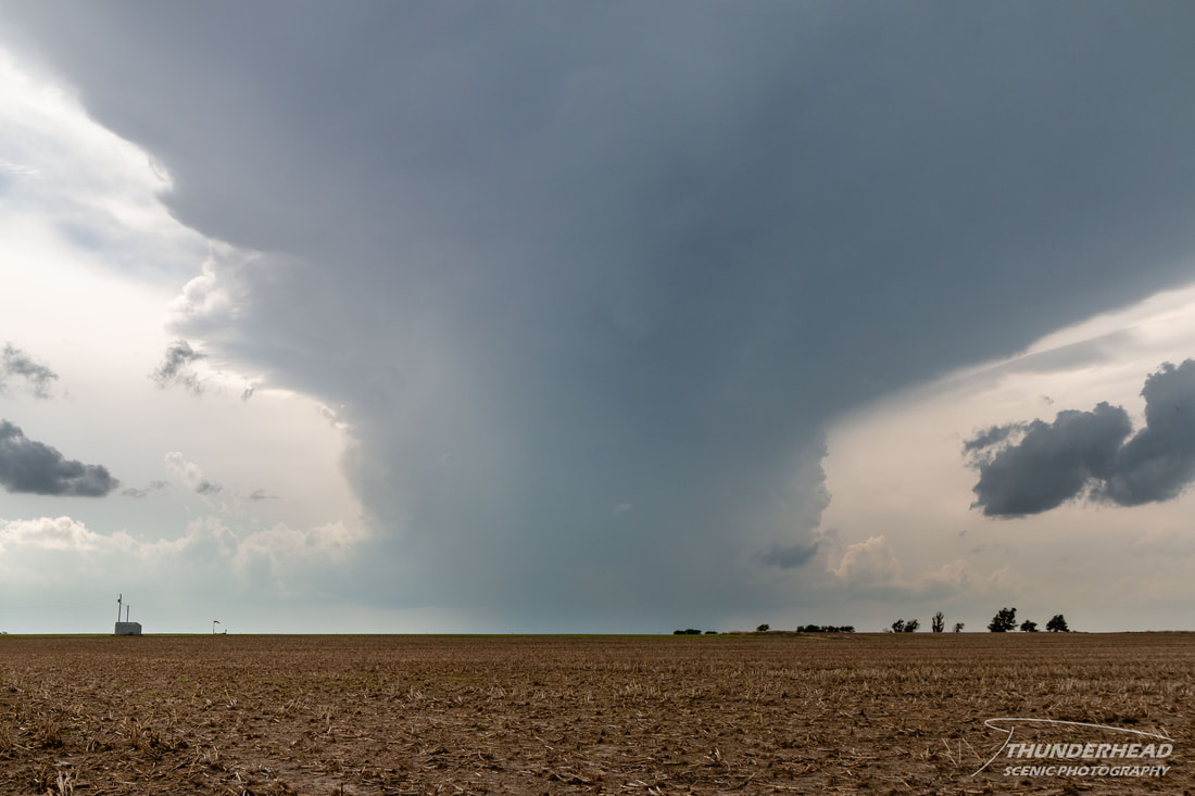
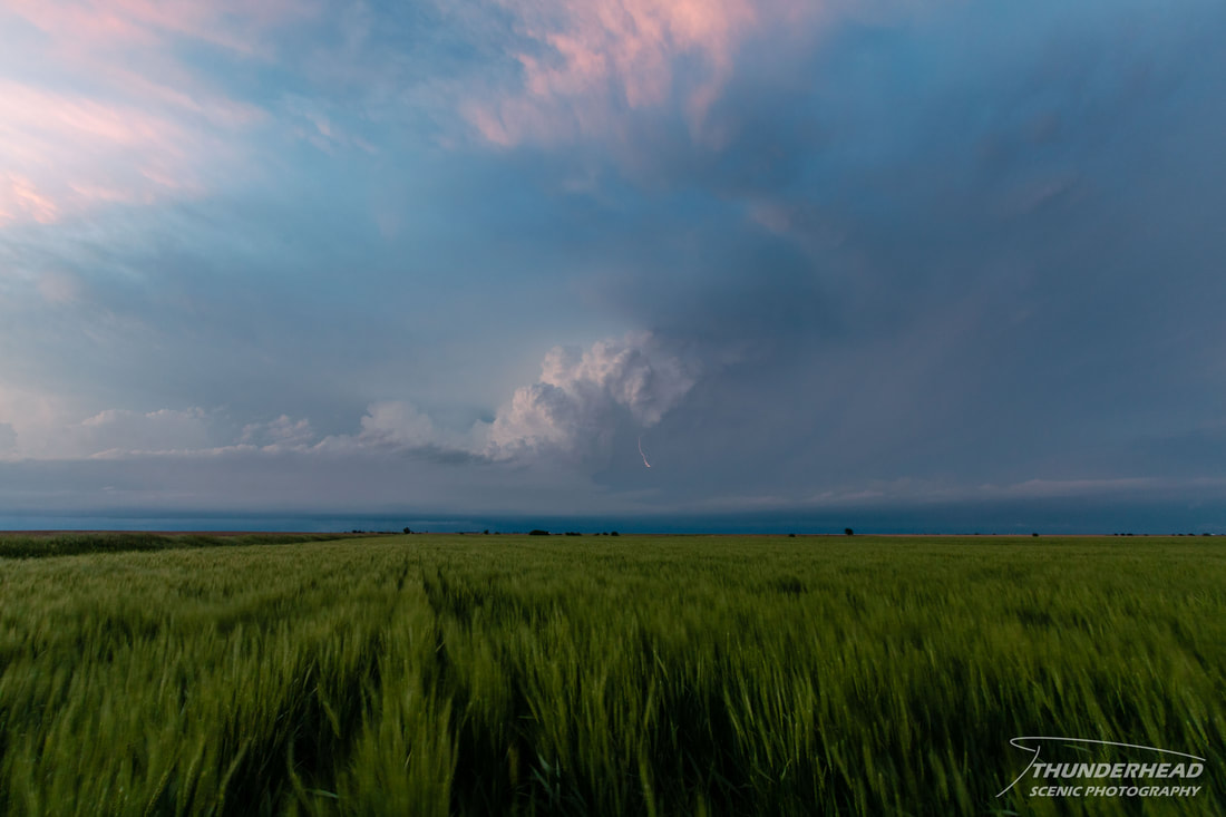
Late in the afternoon, a storm finally went up just to the west of Scott City and began moving northward. We followed it a little just to keep it in view, but it never looked healthy visually or on radar:
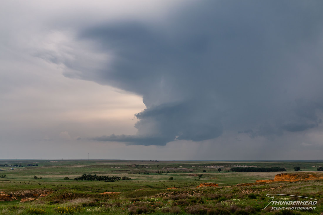
Eventually we got close to I-70 and had a decision to make. The supercell which was still tornado-warned along the Nebraska-Kansas border was nearly stationary, and a Mesoscale Discussion from the Storm Prediction Center had just highlighted that area and southeastward into central Kansas along the warm front as a focus for storm development over the next couple of hours. Additionally, the storm we had been following had become part of a cluster of storms that had some decent looking structure to it. If we moved any further north, we would put ourselves almost definitely out of play for anything that developed in the coming hours near our initial target, but sometimes you just have to go with what you currently have. After deciding to move north after the supercell at the Nebraska-Kansas border, we noticed that a storm to our west had some shape to it:
We got into good view of the previously tornadic storm just in time, as it had beautiful structure that was soon wiped away by surging outflow:
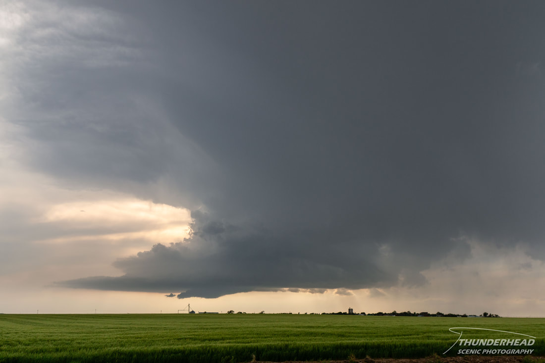
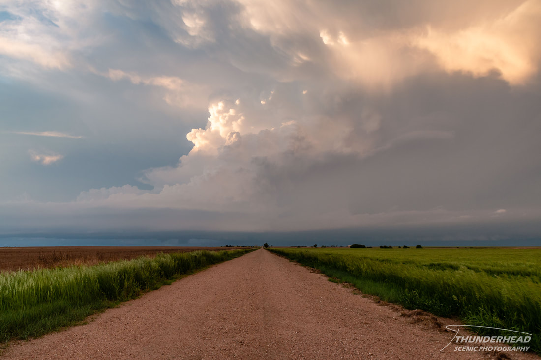
That made the decision to give up on it easy, and we picked up on a storm to our southeast that quickly became tornado-warned. We were able to cut directly behind it on a dirt road as it developed a rather laminar lowering underneath a tilted and unimpressive updraft. In fact, all of the updrafts that we could see had a similar feature underneath them:
Our tornado-warned storm eventually split, with the left split having some interesting structure to it:
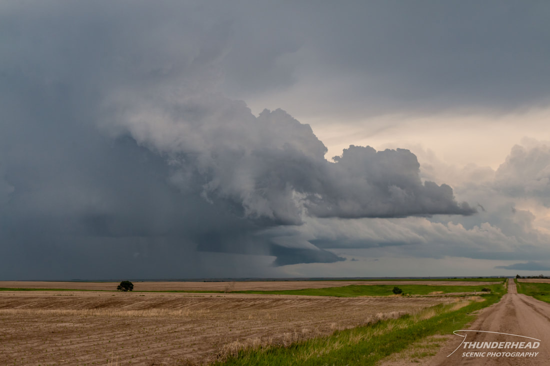
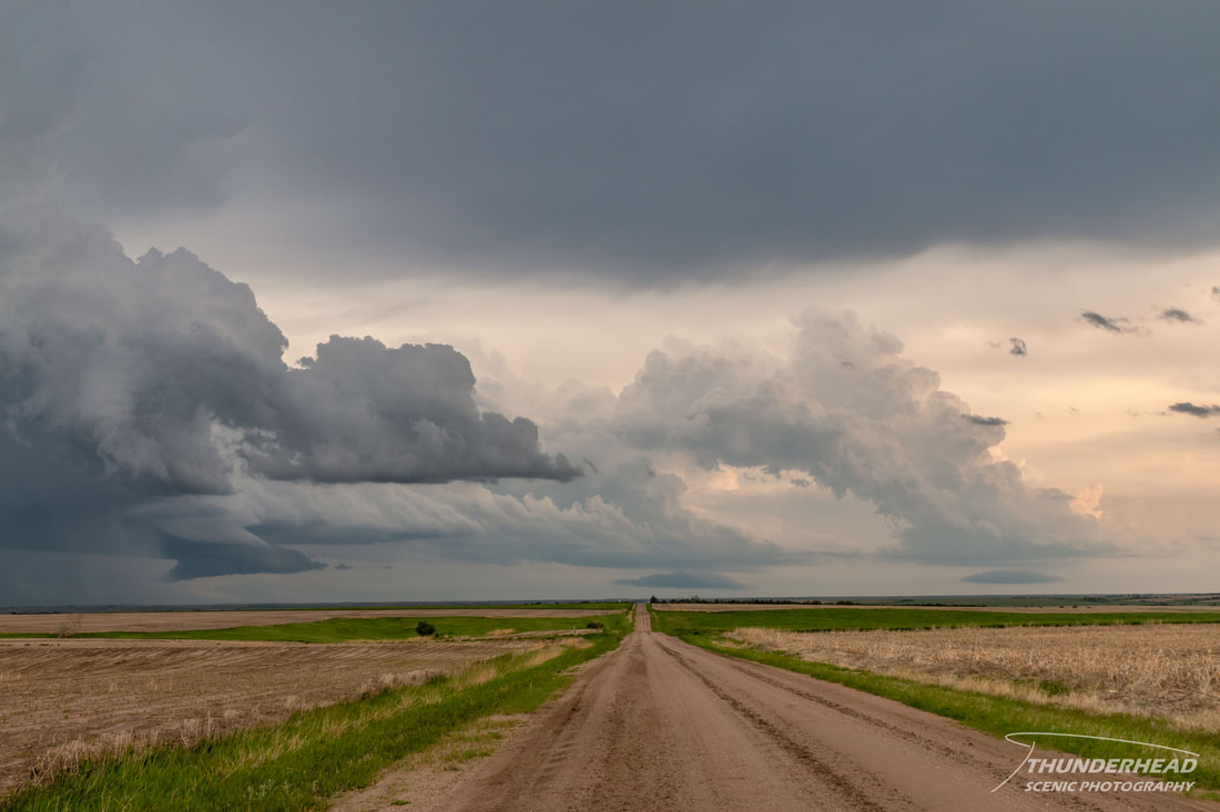
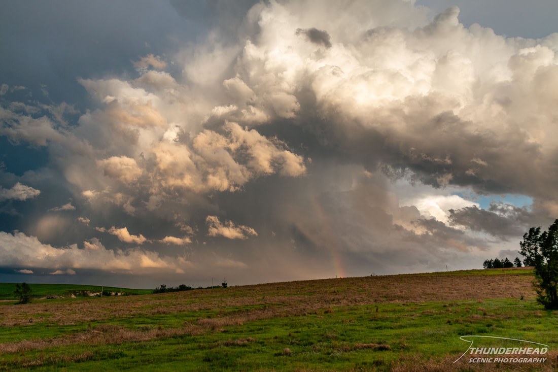
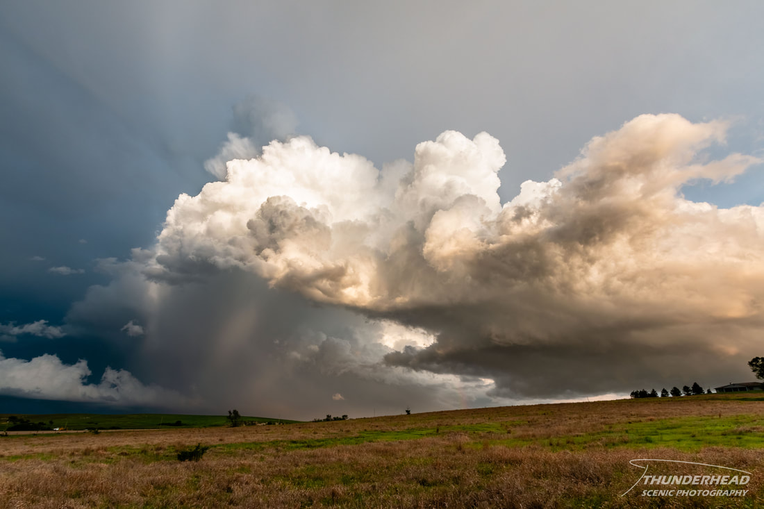
These two updrafts, along with nearby updrafts and storms, began to mix with the light from the setting sun, producing intense and highly dynamic scenes near Jennings, KS:
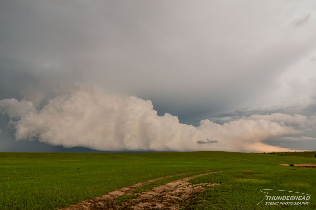
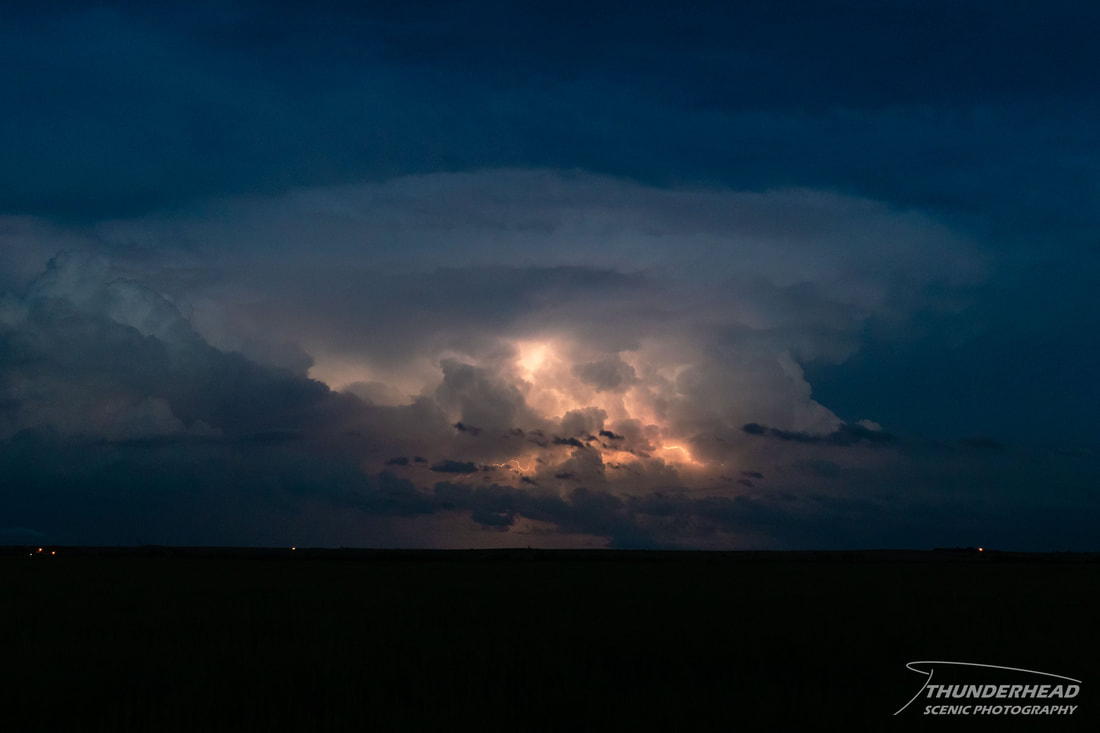
Repositioning a little further west gave us a good view of the Oberlin, KS supercell and other updrafts as they faded eastward and dusk settled over the countryside (below). The day was largely considered a bust by many, but I feel we managed to salvage it. Unfortunately for the many chasers that held their ground in southwestern Kansas, the only notable convection in southwest Kansas was the first storm we went after, followed by a skinny updraft later over Dodge City.
May 27, 2021
The cold front and outflow boundaries from the previous day’s storms would sag southward on the 27th, bringing the threat for severe weather across the Southern Plains. The overall environment was supportive of severe weather, but faith in tornadic supercells was low given the low-level wind profile. The best location for discrete supercells within reach of the location of our overnight stay in Colby, KS looked to be the TX panhandle near the intersection of the dry line and cold front.
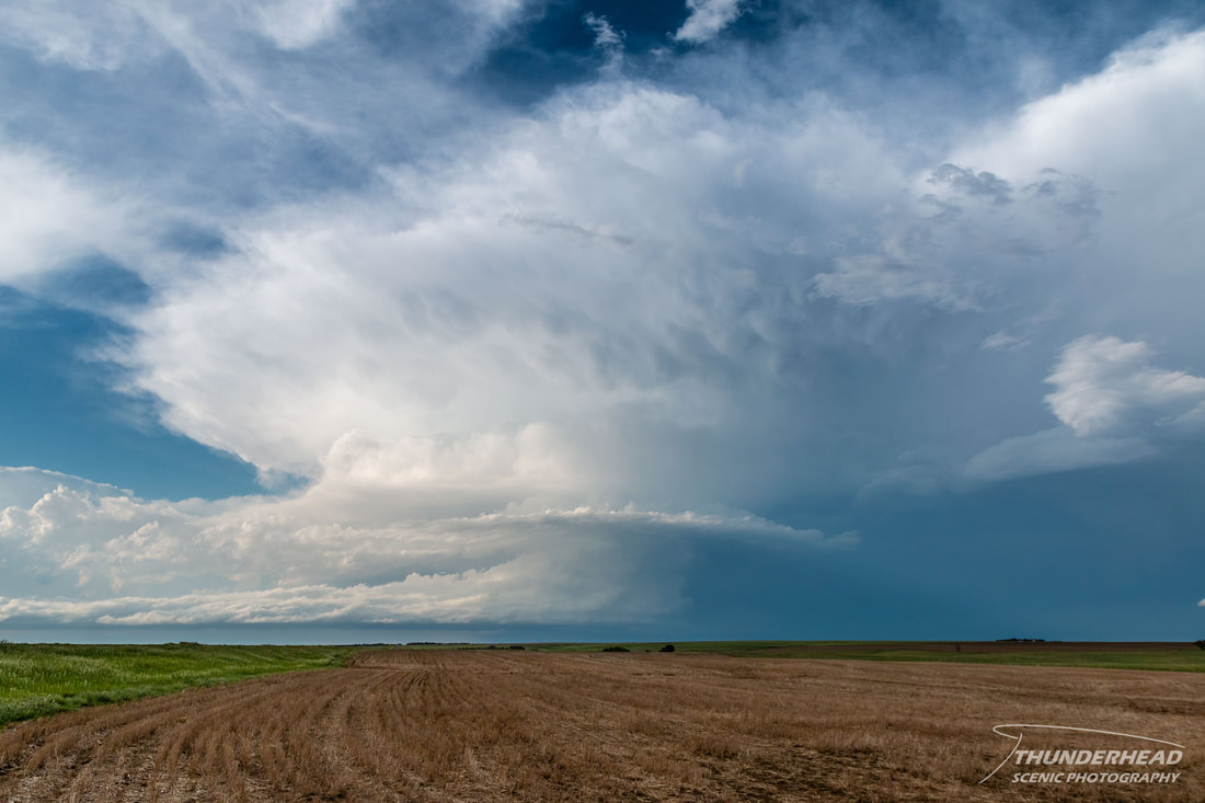
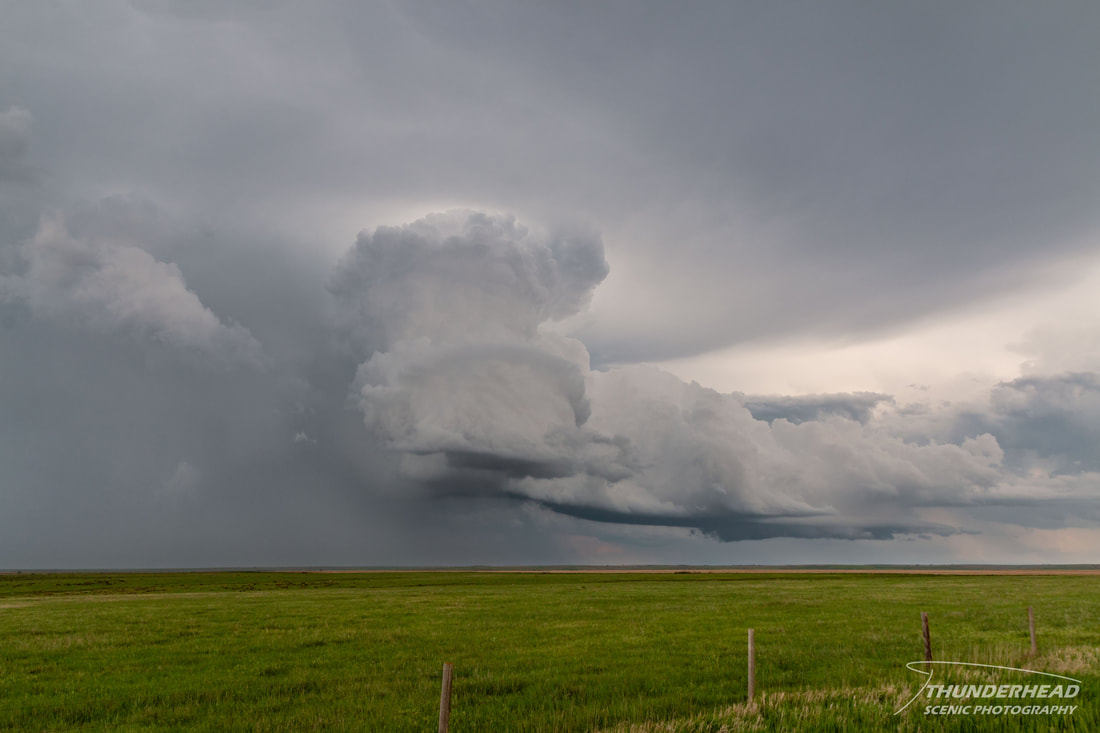
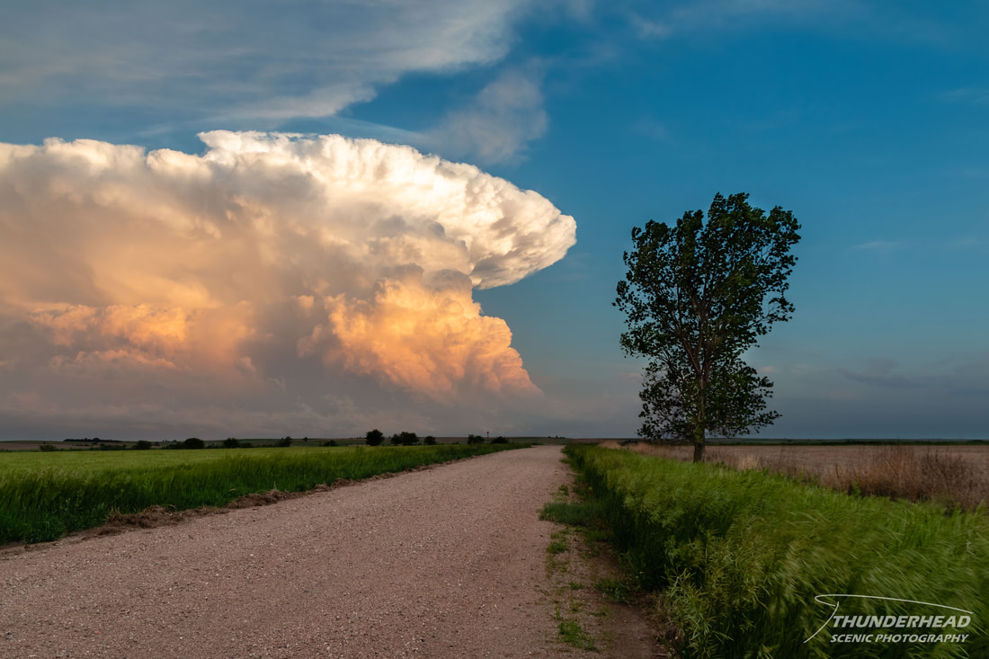
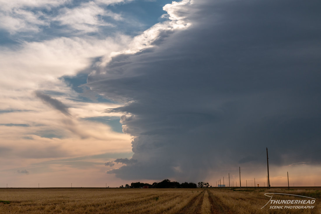
We arrived in Shamrock, TX, just south of the cold front, in the early afternoon and waited a little for convection. Several updrafts went up over the next couple of hours between Tulia and Childress, but they seemed to dissipate as quickly as they formed. In this time, we reposition in Childress to figure out our next move. Another storm developed south of Amarillo, and it looked much better than the first on radar. After seeing how the first couple of updrafts quickly died off, we held our ground longer than we normally would until the storm eventually split. Once it did, the right-mover seemed to get its act together on radar and visually, so we jogged southward toward Paducah to get a better view. We stopped once to take photos of its updraft (below), and it's fortunate that we did, because not much longer after that, it began to become undercut by the cold front and weakened substantially. This marked the end of our chase for that day and our trip to the Plains.
We arrived in Shamrock, TX, just south of the cold front, in the early afternoon and waited a little for convection. Several updrafts went up over the next couple of hours between Tulia and Childress, but they seemed to dissipate as quickly as they formed. In this time, we reposition in Childress to figure out our next move. Another storm developed south of Amarillo, and it looked much better than the first on radar. After seeing how the first couple of updrafts quickly died off, we held our ground longer than we normally would until the storm eventually split. Once it did, the right-mover seemed to get its act together on radar and visually, so we jogged southward toward Paducah to get a better view. We stopped once to take photos of its updraft (below), and it's fortunate that we did, because not much longer after that, it began to become undercut by the cold front and weakened substantially. This marked the end of our chase for that day and our trip to the Plains.

