December 28, 2012
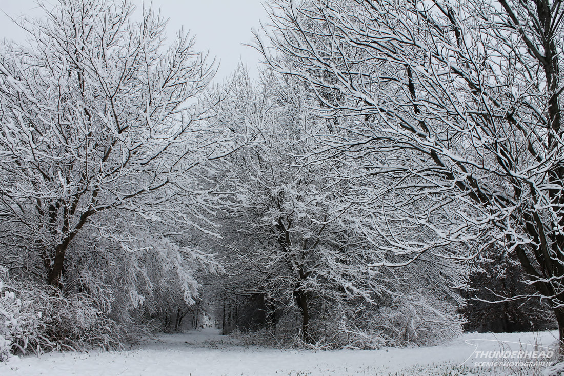
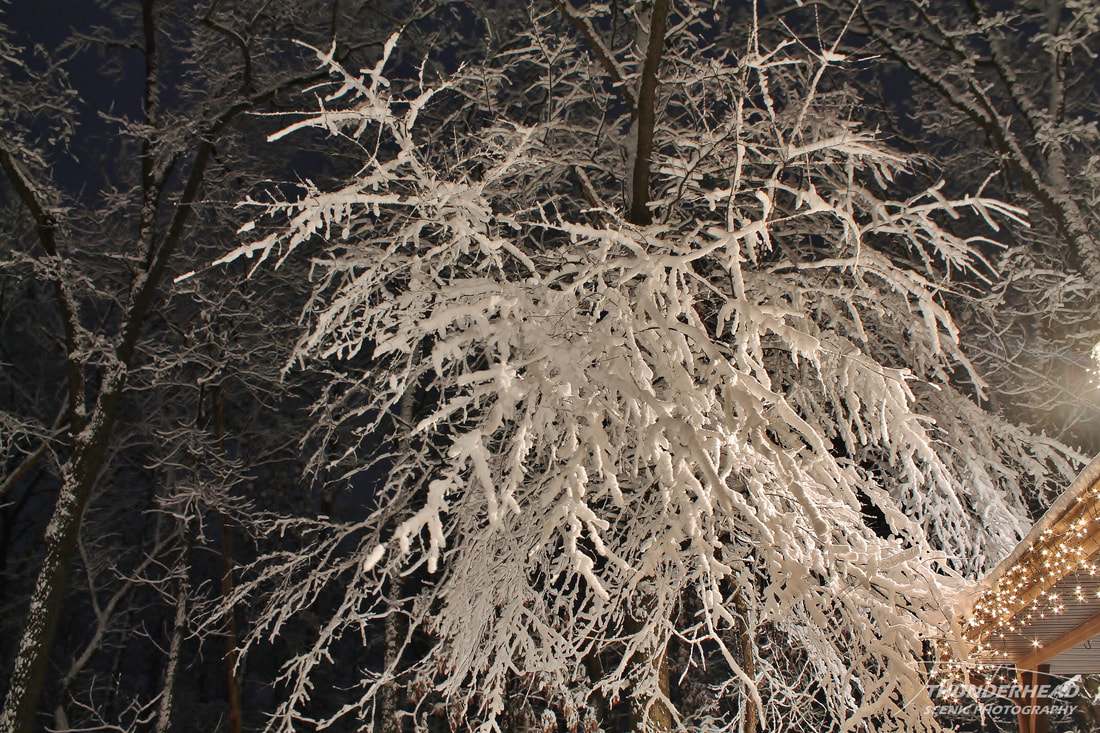
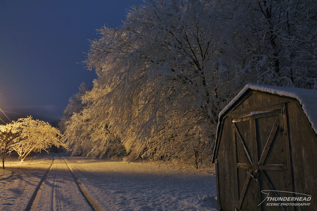
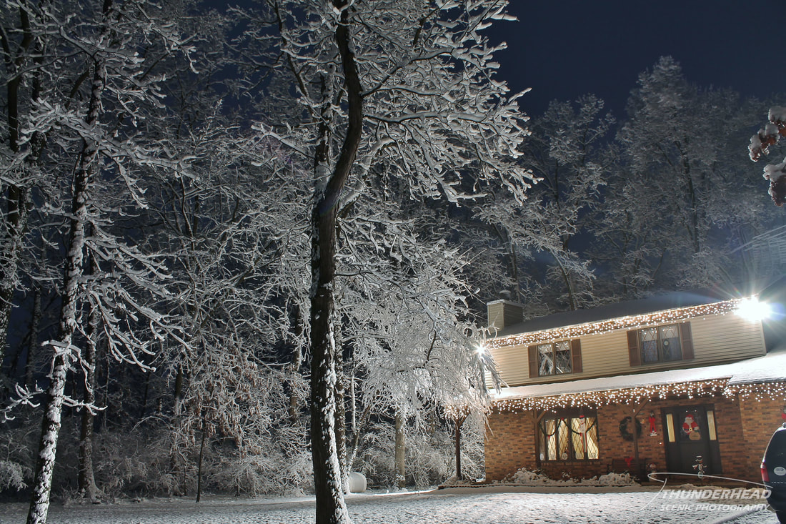
From Christmas Day through New Year’s Eve, three storm systems tracked out of the southwest across the lower Midwest. The first on Christmas Day brought numerous tornado warnings from Texas all the way to North Carolina and a dusting of snow to the St. Louis area that night. The second storm system on the 28th took nearly the same path. There was a slight chance of severe weather across the south, but nothing like the Christmas Day storm. For my location in southern Illinois, it began snowing big, wet snowflakes late in the afternoon on the 28th. The snow continued, heavy at times, until around midnight. Given that the temperature was around 32 degrees the whole time, the snow was very wet and stuck to everything. This created some of the most beautiful winter scenes I have ever seen in person. I went out around 11pm and took some pictures as best as I could given the limited sources of light:
December 29, 2012
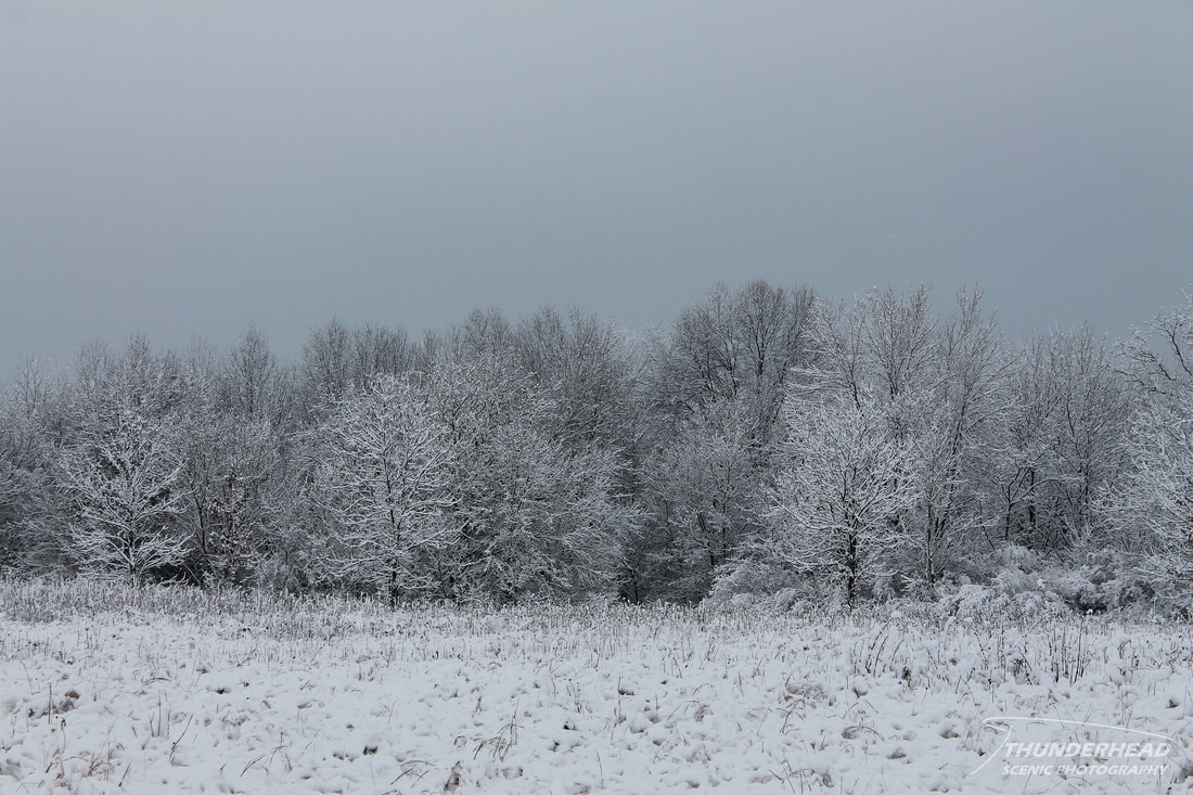
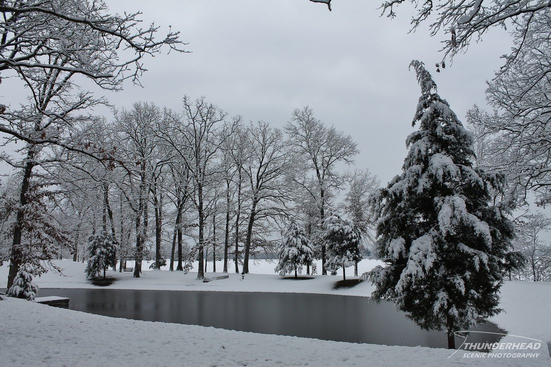
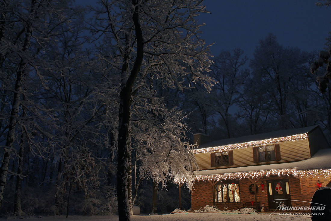
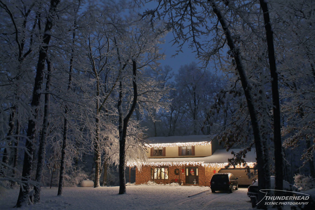
I was hoping the snow would still be stuck to the trees when I woke up so I could get some pictures in the daylight. Fortunately, it did, and I went and took more pictures of the beautiful landscape: